GeoAI

Artificial Intelligence (AI) is increasingly becoming a key factor in future-oriented infrastructures. The full potential of your geodata can be tapped only with GeoAI. Through the integration of custom-fit AI components, hidden patterns can be discovered, new insights can be gained, and processes can be optimised by taking over labour-intensive routine tasks. The GeoAI experts from con terra support you in this process – from the development of initial project ideas to the integration of AI into your processes and even monitoring.
Challenge and opportunity
Face the exponential data growth and increasing complexity with new technological approaches. Artificial intelligence helps here. It can simplify or automate time-consuming work processes and gain new insights from hidden information. Through the targeted embedding of AI, data processing evolves from a mammoth task to an opportunity that helps you generate significant added value in an automated way.
GeoAI 360°

Individuelle Bedarfs- und Potenzialanalyse
Entwicklung von Konzepten und Proof of Concepts
Flexible Integration in Ihre Geschäftsprozesse
Monitoring und Support
GeoAI Discovery
AI knowledge from the ground up: Our 2-day workshop GeoAI Discovery is a good way to approach the topic of AI and geodata. The aim of the workshop is to figure out one's own requirements and to identify potentials and the feasible starting points. While the first day of the workshop lays the foundation of knowledge for the use of artificial intelligence in connection with geodata, developing use cases together on the second day helps build a good starting point for your own projects.
GeoAI Database
The suitable database: Based on your requirements, we research the relevant data for your GeoAI project. Together with you, we examine existing databases and supplement them with additional data sources. Benefit from our comprehensive know-how in the field of geodata preparation and integration.
Datenaufbereitung: Wir harmonisieren Ihre Datenquellen und -formate und machen diese für KI-Methoden nutzbar.
AI-Methoden: Von Sprachsteuerung bis hin zu Deep Learning Methoden haben wir unterschiedliche Technologien im Einsatz.
Integration und Betrieb: Als GeoIT-Integrator verfügen wir über langjährige Erfahrung bei der Konzeption passgenauer Lösungen.
Visualisierung und Anwendung: Plattformunabhängig, nutzerfreundlich, individuell – unsere Lösungen richten sich ganz nach Ihrem Bedarf.
Künstliche Intelligenz kann in vielen Bereichen der Datenverarbeitung unterstützend eingesetzt werden. So hilft der Einsatz von Sprachsteuerung dabei, Aufgaben zu optimieren, die freie Hände benötigen. Durch Automatische Bilderkennung werden langwierige Kartierungsaufgaben beschleunigt und mithilfe sogenannter Deep Learning Modelle werden komplexe Beziehungen zwischen Daten aufgedeckt. In unseren Projekten konnten wir Künstliche Intelligenz bereits auf unterschiedliche Weise gewinnbringend einsetzen. Wir unterscheiden dabei vier verschiedene Einsatzmethoden:
GeoAI Prototyping
A customised solution that fits: Do you know your database and what result you are aiming for? What is missing then is the solution tailored to your requirements. With this in mind, we develop an initial prediction model and visualise it in a simple form. By developing a prototype and testing it, your customised solution scenario is created. In this way, you ensure that only measures that are really purposeful are implemented.
Your benefits
Eine Errungenschaft, die erst durch den Einsatz von AI-Algorithmen ermöglicht wurde, ist die produktive Verarbeitung natürlicher Sprache. Somit ist es unter anderem möglich Apps per Spracheingabe zu steuern oder handschriftliche Texte zu übersetzen und zu analysieren.
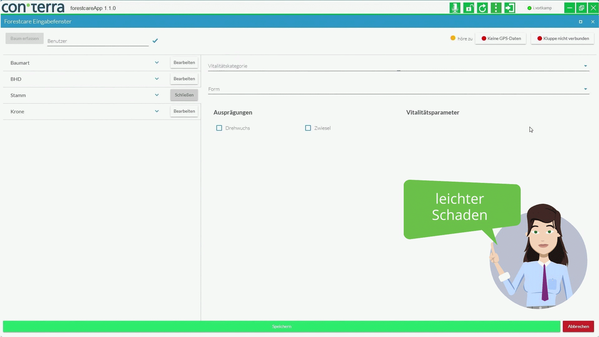
Mitarbeiter:innen im Forstbetrieb ist es hierbei möglich, die Aufnahme von Bäumen per Sprache vorzunehmen, um nicht ständig zwischen Meß-Werkzeugen und Aufnahmegerät (z. B. Tablet) wechseln zu müssen. Die Arbeit läuft somit flüssiger ab und die Mitarbeiter:innen werden entlastet.
Data Enhancement
Das weltweit verfügbare Datenvolumen steigt jährlich um Milliarden Terrabyte an. Allerdings enthalten viele dieser Daten Lücken oder schwer erkennbare Fehler. Auch hier kann AI helfen, um schnell und automatisiert die Datenqualität von z. B. Sensordaten zu sichern.
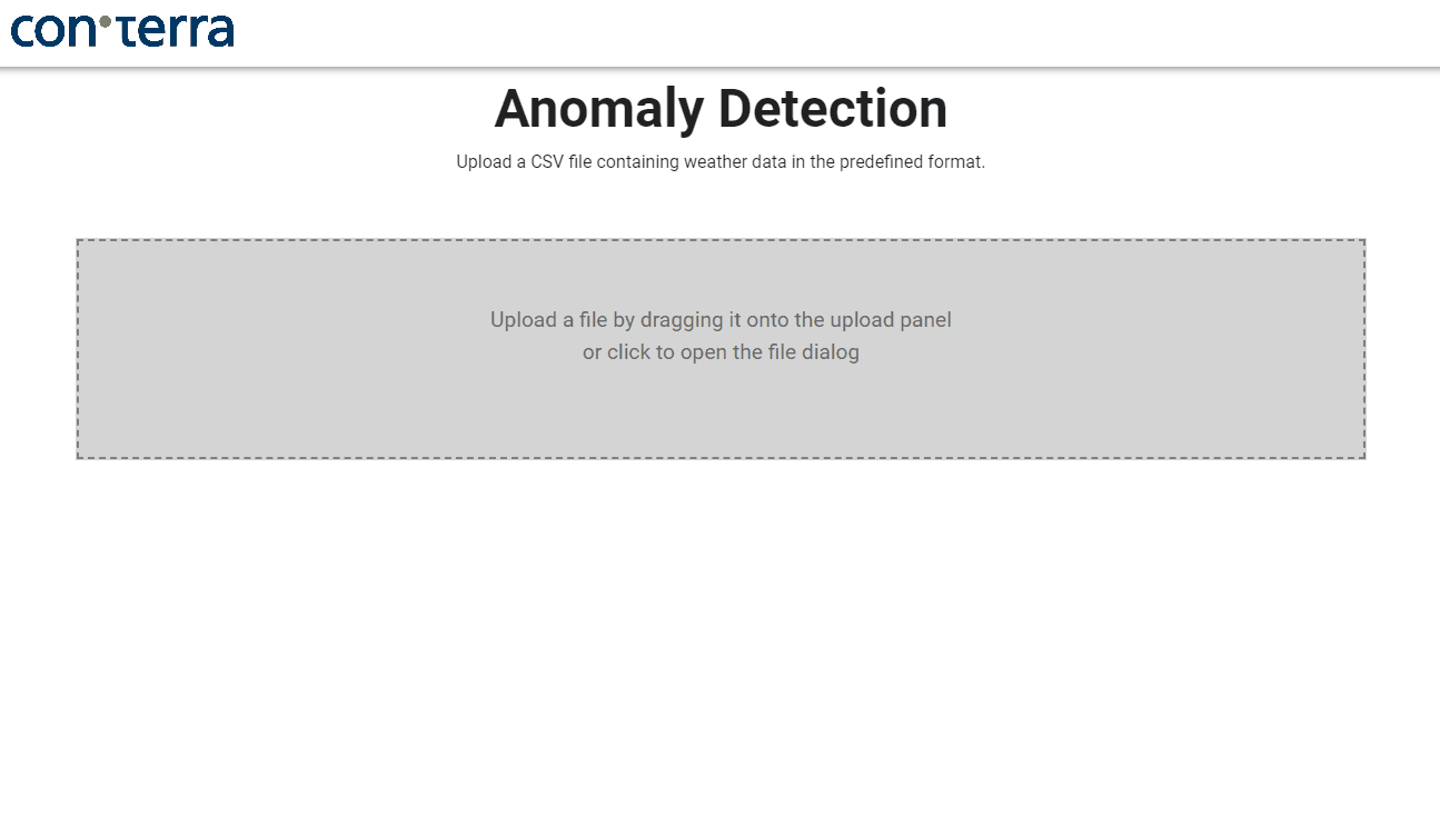
Durch AI-Algorithmen werden so Fehler in Massendaten gesichtet, die in den meisten statistischen Verfahren nicht erkennbar sind. Die Informationen können dann direkt im gewünschten Format exportiert und weiterverarbeitet werden.
Forecasting
Besonders in dynamischen und komplexen Systemen mit hoher Diversität in den Daten, beweisen AI-Algorithmen ihre Stärke. So können z. B. in wetterabhängigen Systemen mit weiteren multiplen Einflussfaktoren, sichere und stabile Prognosen zu lokalen Ereignissen getroffen werden.
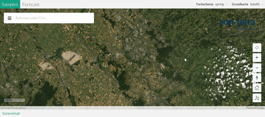
Für die Vorhersage von Schädlingspopulationen im Forstbetrieb konnten so bereits im Frühjahr lokalspezifische Warnungen für die Sommermonate ausgestellt werden. Damit kann das Personal gezielter und besser orientiert eingesetzt werden.


Mischa Giese