
Training Courses
con terra’s training courses provide practical knowledge of methods and techniques for data and information processing. The seminars cover current trends and fundamentals, enabling users and developers alike to confidently use the FME platform.
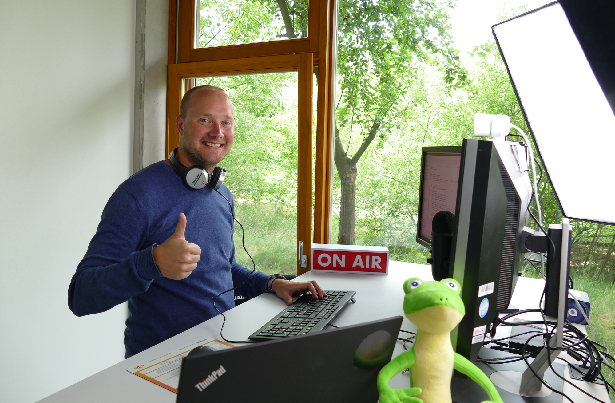
The courses are characterised by small participant groups, consideration of individual requirements, and intensive training. In addition to standard courses, con terra offers customised training and orientation courses for beginners. All courses, whether on-site or online, are led by experienced trainers and are also available in English upon request.
Our range of standard courses is supplemented by customer-specific, individual training units.
Benefits
FME Certified Trainer
The FME training courses are held by FME Certified Trainers. With the FME Certification Program, Safe Software specifically recognizes FME experts who have proven excellent technical skills and expertise in handling FME and imparting knowledge about FME technology. Our trainers also have extensive experience in the project and service business. Benefit from practical insights and tips for your daily tasks.
Training Materials
The training documents support you in acquiring knowledge. The content is continuously adapted in feedback with the participants and in relation to new developments and versions. Clearly structured content and illustrative examples facilitate the learning process.
Certificate of Attendance
After successfully completing the course, each participant receives a personal certificate of attendance.
Small Course Groups
Benefit from our small learning groups. Your trainer is available to answer individual questions and provides intensive support for all course participants.


Marie Paßlick
+49 251 59689 300