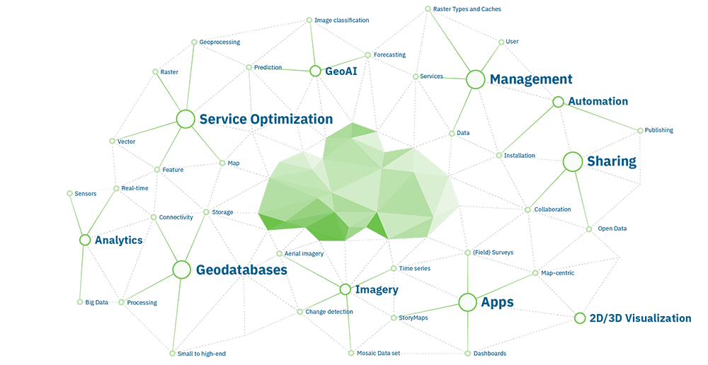
The Best Technology as Basis
ArcGIS offers unique possibilities for location-based analyses. It forms the foundation of our solutions. This allows information to be linked, patterns to be revealed and new correlations to be established. Collaborating with others and sharing insights about maps, applications and reports are all possible with ArcGIS.
Individuality for ArcGIS
From desktop applications, mobile and cloud-based solution to on-premise installations, the ArcGIS system consists of a wide range of products. From all these offerings, finding the right product in the right deployment can be a real challenge. con terra accompanies and supports you from the selection of the right product, through the design of a custom-fit solution, to the ongoing operation of your application. The focus is always on your requirements.
Our service portfolio in the ArcGIS environment includes the following areas:
- Consulting and conception of possible implementations of ArcGIS
- Installation and configuration of components from the ArcGIS product range by certified employees
- Design of Esri Software systems in consideration of the existing IT infrastructure
- Individual specialized solutions based on the ArcGIS system and complementary technologies
- Professional expertise and broad experience in our target markets
con terra and Esri
con terra develops first-class GeoIT solutions for the challenges of today and tomorrow. As a leading integrator in the field of GIS, we strictly focus on the requirements of users and their business processes. In this context, we have been relying with full conviction on the ArcGIS base technology of the world market leader for geoinformation systems – Esri – for over 25 years.
Esri is the world's leading provider of geographic information systems. The ArcGIS geospatial system supports organisations in the private and public sectors with transforming big data, real-time data and geospatial data into profitable information. More than 350,000 customers worldwide, including 75 per cent of Fortune 500 companies, numerous governments, around 20,000 cities and over 7,000 universities, rely on ArcGIS.
con terra is an Esri Platinum Partner
Esri Inc. has a worldwide partner network (EPN) of more than 2,000 companies and organizations. Well-defined selection criteria and high quality standards guarantee security for both Esri partners and their customers.
con terra is one of only 18 companies worldwide that has Platinum Partner status in the EPN. On several occasions, con terra has been recognized for innovative customer solutions and outstanding achievements in the integration of geoIT solutions into corporate business processes. At the Esri Business Partner Conference 2019, we were honored with the Driving Enterprise Platform Adoption Award.
By participating in the ArcGIS System Ready Specialty and Marketplace programs, Esri also certifies that con terra's value-added products, solutions and services are consistent with the current technology of the ArcGIS system and ideally complement it.
Since 2019, we are a member of Esri's CTO Council as well. In 2020 we reached the latest milestone of this successful partnership. con terra became an active member of the Esri Partner Advisory Council (PAC). Find more information here.
con terra and Esri


