Case Studies Satisfied customers are the best reference Learn about the challenges we have mastered with our customers and how we understand project work. All Securing Geodata Apps for Web and Mobile Data Management / Spatial ETL GIS Integration SDI and INSPIRE Spatial UX Category (field_category) - Alle -Securing GeodataApps for Web and MobileMobile Data CollectionData Management / Spatial ETLGIS IntegrationSDI and INSPIRESpatial UX Concept for orienting and adapting the UBA.gdi to INSPIRE Creation of a comprehensive concept for the development of a central infrastructure node. Weiterlesen über Concept for orienting and adapting the UBA.gdi to INSPIRE FGIS_online - Forest Web GIS The web GIS platform FGIS_online is designed to enable the efficient creation of appropriately focused apps for supporting the tasks of the Sachsenforst state forestry service. Weiterlesen über FGIS_online Forstliches Web GIS Earth Observation Portal Central portal for accessing EUMETSAT data. Weiterlesen über Earth Observation Portal INSPIRE data harmonization The specified INSPIRE data harmonization workflow is one of the first solutions which describes the complete process from existing data to the annex I theme “protected sites”. Weiterlesen über INSPIRE data harmonization GeoBAK 2.0 Provision of a central platform for the publication of standards-compliant (OGC and INSPIRE) spatial services. Weiterlesen über GeoBAK 2.0
Concept for orienting and adapting the UBA.gdi to INSPIRE Creation of a comprehensive concept for the development of a central infrastructure node. Weiterlesen über Concept for orienting and adapting the UBA.gdi to INSPIRE
Concept for orienting and adapting the UBA.gdi to INSPIRE Creation of a comprehensive concept for the development of a central infrastructure node.
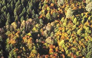
FGIS_online - Forest Web GIS The web GIS platform FGIS_online is designed to enable the efficient creation of appropriately focused apps for supporting the tasks of the Sachsenforst state forestry service. Weiterlesen über FGIS_online Forstliches Web GIS
FGIS_online - Forest Web GIS The web GIS platform FGIS_online is designed to enable the efficient creation of appropriately focused apps for supporting the tasks of the Sachsenforst state forestry service.
Earth Observation Portal Central portal for accessing EUMETSAT data. Weiterlesen über Earth Observation Portal
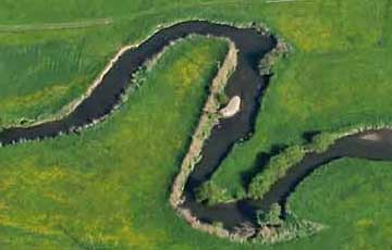
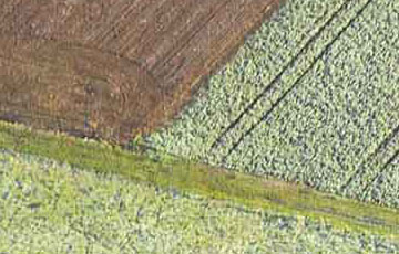
INSPIRE data harmonization The specified INSPIRE data harmonization workflow is one of the first solutions which describes the complete process from existing data to the annex I theme “protected sites”. Weiterlesen über INSPIRE data harmonization
INSPIRE data harmonization The specified INSPIRE data harmonization workflow is one of the first solutions which describes the complete process from existing data to the annex I theme “protected sites”.
GeoBAK 2.0 Provision of a central platform for the publication of standards-compliant (OGC and INSPIRE) spatial services. Weiterlesen über GeoBAK 2.0
GeoBAK 2.0 Provision of a central platform for the publication of standards-compliant (OGC and INSPIRE) spatial services.