
smart.finder – Finding data the smart way
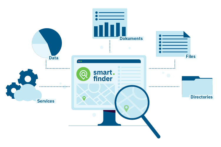
smart.finder represents an efficient way of simplifying searches for spatial data, services and documents. It enables fast and structured access to extensive, distributed and heterogeneous data stores.
No data infrastructure is too big for smart.finder
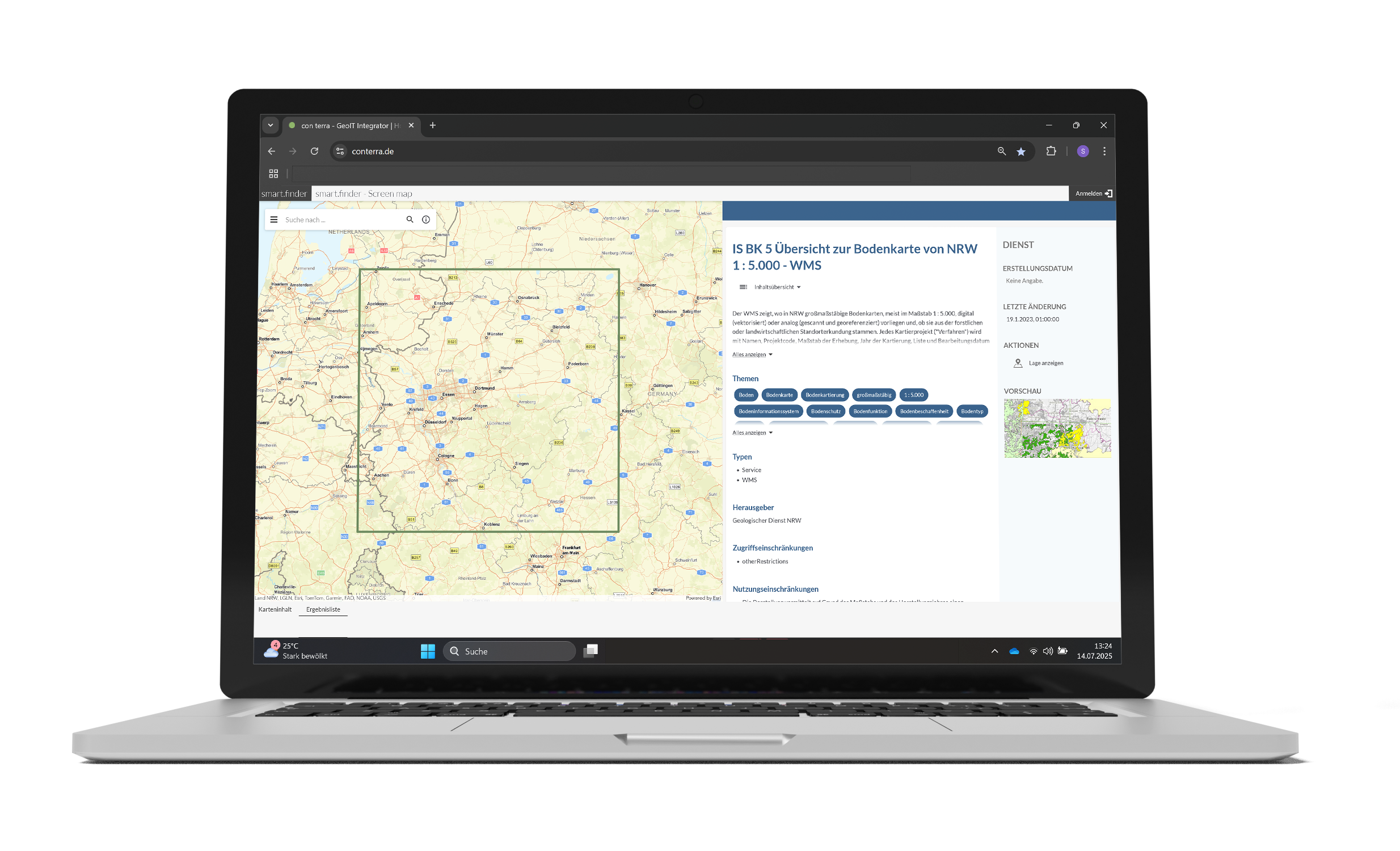
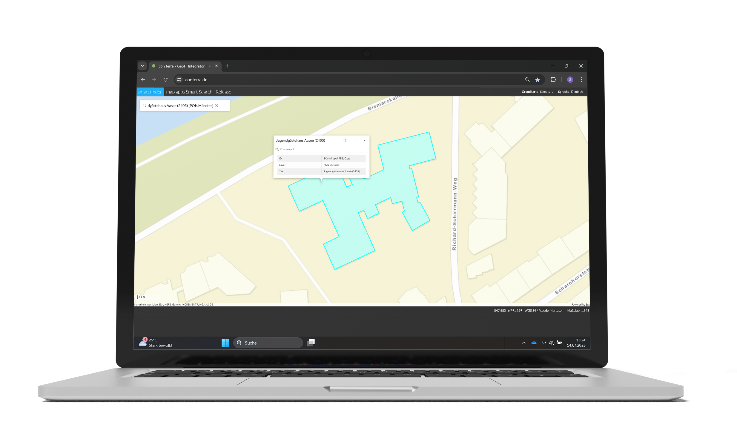
Users of this high-performance software will find exactly the spatial data, services and documents that they are looking for, simply, efficiently and precisely – particularly when searching in large infrastructures. It is even possible to reveal and exploit concealed data treasures. Hits may originate from a wide variety of information sources.
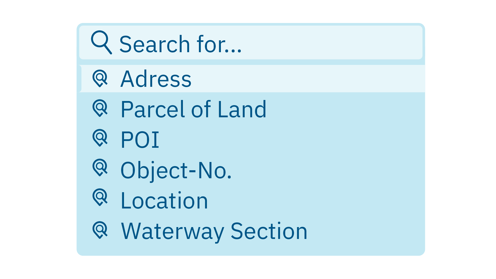
smart.finder enables fast and structured searches across different data resources. Thanks to powerful algorithms, you will always find exactly what you are looking for. High-performance indexing ensures that even large amounts of data remain efficiently searchable.
smart.finder enables the creation and management of multiple indexes that can be used in different applications. Subject-specific searches can be performed based on semantically different indexes. Alternatively, heterogeneous data can be merged into a common index to enable a uniform, comprehensive search.
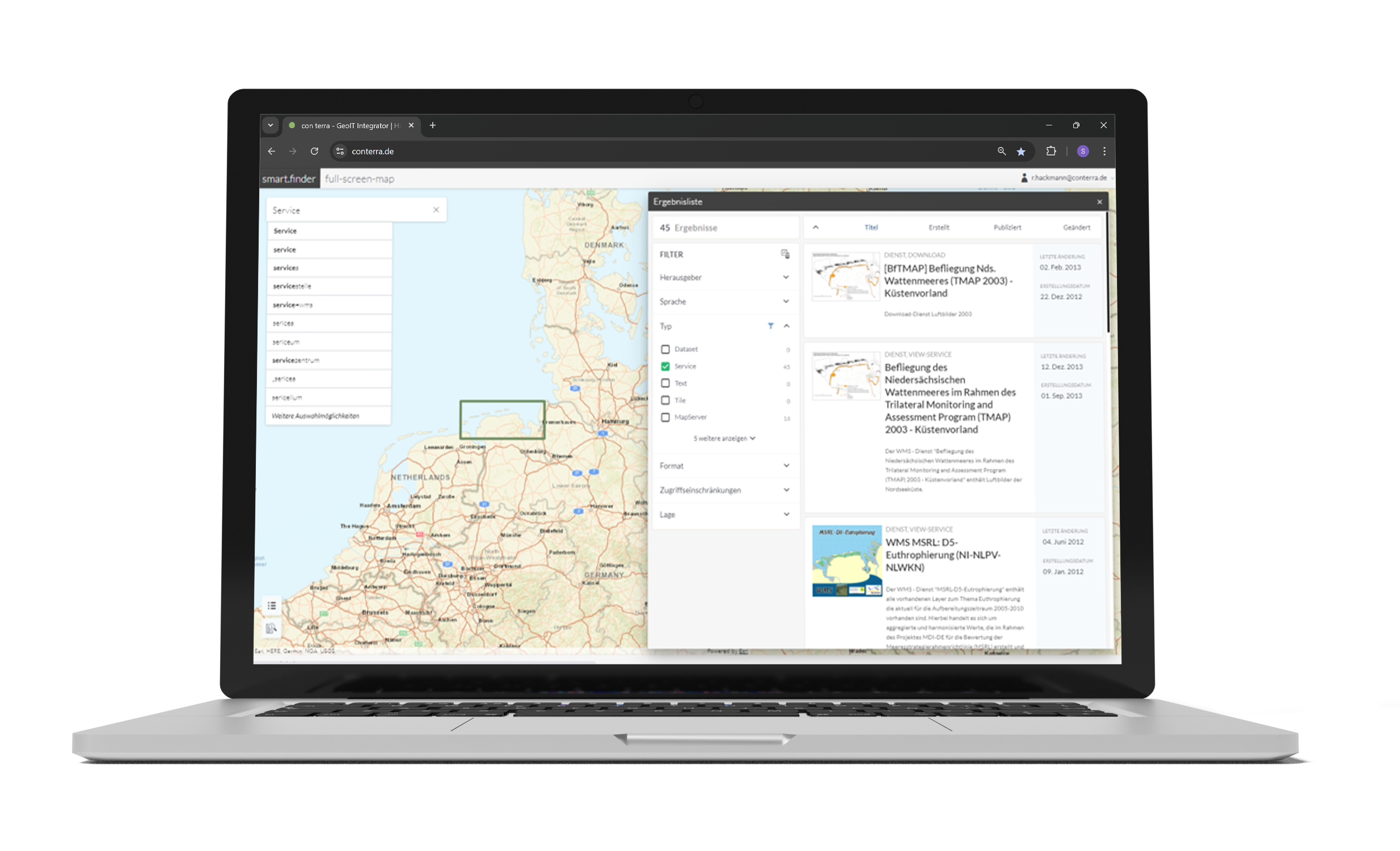
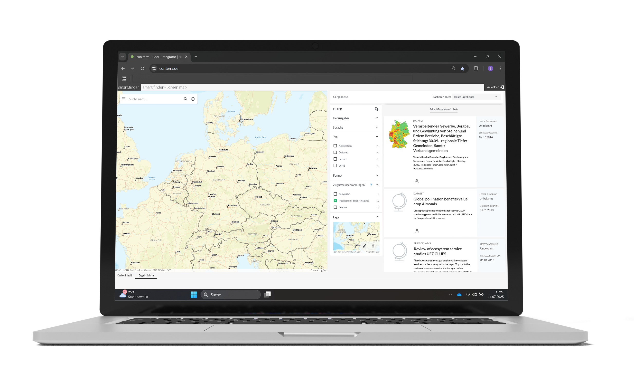
Whether you are a beginner or an expert, smart.finder impresses with its user-friendly interface that can be customised to suit your individual needs. Search filters can be set and results analysed with just a few clicks. Even complex search queries are easy to implement, making it easy for all employees to use.
- fast, targeted access to all relevant data sources
- automatic crawling and powerful indexing for up-to-date information
- transparent and effective use of distributed, complex data sets
- user-friendly web design for intuitive and efficient usage
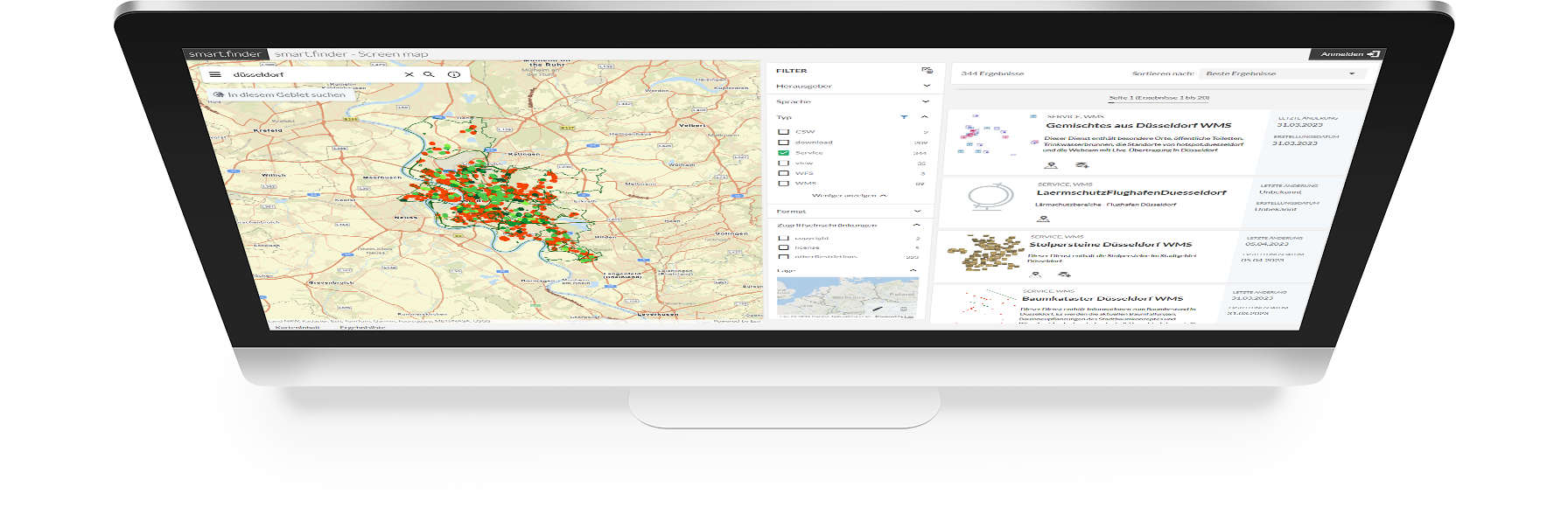
- structured presentation of results as a list and on a map
- precise filter functions for targeted refinement of results
- adaptable to individual departmental structures and workflows
- wide range of applications in the public sector and business
- seamless integration into existing systems
Distributors

Download smart.finder Flyer (PDF)