Use CityGML data in ArcGIS
Easy data integration via FME Workspace in ArcGIS Pro: Esri Inc. and con terra develop toolbox
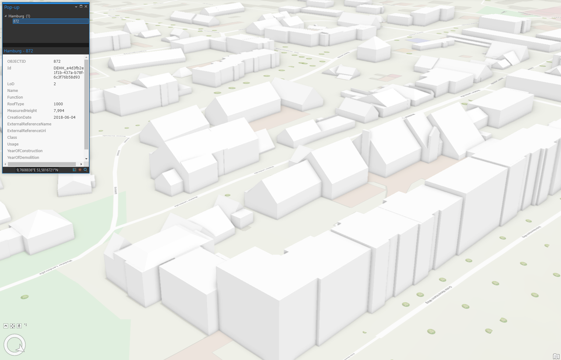
Esri Inc. and con terra have jointly developed a toolbox for the easy integration of CityGML data into ArcGIS. con terra has created a special FME® Workspace for the geodata processing tool, which converts building models from CityGML files into Scene Layer Packages (I3S). The CityGML to I3S Publisher can be used directly in ArcGIS Pro with the Data Interoperability Extension or alternatively with FME Desktop. The FME Workspace is provided in an open version and can also be customized to individual user requirements.
By using the OGC standards CityGML and I3S, city model data can now be easily integrated into ArcGIS Pro and processed directly.
The new toolbox was implemened in response to increased user requests from Europe and Asia and can be downloaded here.
Detailed information and a manual can also be found in the blog post by Esri.
If you have any questions or require further information, please contact us by e-mail at fme@conterra.de or by phone at +49 0251 59689 300.
FME is a registered trademark of Safe Software Inc.