to Help Build an Open Geodata World
con terra joins Overture Maps Foundation
con terra Joins the Overture Maps Foundation to Help Build an Open Geodata World
Muenster, February 2024 – con terra GmbH, a leading GeoIT solutions company, announced it has joined Overture Maps Foundation as a contributing member.
Founded in December 2022, Overture includes over two dozen companies active in mapping, geodata, and related technology fields dedicated to the development of global, open and freely accessible geospatial data. This initiative will enable developers and innovation leaders to create interoperable mapping products and services. By joining as a Contributor Member, con terra reaffirms its commitment to helping create an open, progressive geodata world.
Capturing and utilizing comprehensive, accurate geographic information will help drive innovative mapping services ranging from digital twins to mixed reality and the metaverse.
Innovations in Geodata Provision
Collaborating across company boundaries is as simple as it is revolutionary, and makes sense both economically and environmentally. Overture combines existing open data sources such as OpenStreetMap with resources from its members and government organizations. Through automated processes, the data is quality-assured, converted into a uniform format according to Overture’s data schema, and supplemented by artificial intelligence to derive new data from satellite images. The goal is to create continuously updated, standardized, and fine-grained data sets for global transportation networks, buildings, places and administrative boundaries and make them available for anyone to use under open licensing.
"Our membership in the Overture Maps Foundation underscores our commitment to open geodata and innovative solutions in the GeoIT industry," said Christian Elfers, CTO at con terra. “We are particularly proud to be part of this forward-looking project and look forward to contributing our data usability experience and expertise to the community, ensuring all work focuses on the usability of the results.”
Requirements for Modern Geodata
The geospatial industry has witnessed a significant evolution in map data requirements. IT developers and map solutions providers strive to combine high-quality data from various providers into a base layer upon which they can build sophisticated and functional geodata-based applications. To improve functionality and user-friendliness, it is crucial that the data not only meet high quality standards but is also well-structured and easily integrable into existing systems.
“We welcome con terra into the Overture community to help optimize data usability,” said Marc Prioleau, executive director of Overture Maps Foundation. “By addressing mapping complexities within the base layers, developers without extensive technical knowledge in mapping can create innovative geo-information services and keep them current as the physical world changes, without dealing with mapping metadata, data processing or quality assurance.”
Overture is preparing its data to support a wide variety of applications. For example, the building data contains height information that can be used for 3D applications, and the transportation data is specifically segmented for routing applications. The introduction of globally unique identifiers for objects in Overture’s Global Entity Reference System allows developers to link any number of datasets. This opens the potential to create a structural foundation for an ecosystem of interconnected solutions and data, thus forming a unified digital space in which solutions from various manufacturers can operate and interact seamlessly. Interoperability is an essential prerequisite for linking digital twins (Internet of Linked Twins), for example, or for implementing solutions in the field of cross-cutting mixed reality and the metaverse.
Strong Together
As a new member of Overture, con terra will make valuable contributions to enhance the accuracy, reliability, and usability of the Foundation's open map dataset.
"con terra brings in its expertise in data integration and processing, leveraging its experience from the EU INSPIRE initiative and Open Geospatial Consortium standardization, and insights from numerous projects that defined the requirements for the usability of data," said Christian Elfers. "Ultimately, we aim to make the data usable not only for global IT services but also for local systems and practical solutions, enabling new workflows and linkages, for example, for digital twins and developments like the metaverse. Our commitment to Overture not only strengthens our position as a leading GeoIT integrator but also enables our customers to be at the forefront of technological innovation and fully reap the benefits of digital transformation.”
For further information:

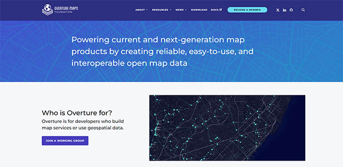
Fig. 1: Website – Overture Maps Foundation – Linux Foundation Project
