realistic - current - user-centered
Digital Twins
Exploiting potential to the fullest
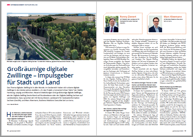
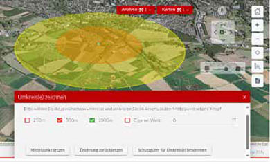
Digital twins bring geodata to life
Digital twins are virtual representations of physical objects and structures in our environment as well as their relationships, processes and interactions. Depending on their technical focus, they are used to monitor, analyze or optimize their counterparts.
As a key element in the digital transformation, they set new standards for efficiency, innovation and user experience, bringing GeoIT to life
Support with conception and development
Our aim is to provide you with the best possible support in setting up digital twins based on our professional and technical expertise.
- Comprehensive support We advise you in all phases of creating a digital twin: from the initial brainstorming, conception and implementation through to operation.
- Valorization of existing infrastructure We implement digital twins on your existing GeoIT infrastructure and increase its value.
- Efficiency through expertise We increase efficiency in the creation of your digital twin by actively contributing our extensive project experience and solution modules.
Our services offered
Consulting and conception
New development of digital twins
Further development of existing GeoIT environments / GDI in direction of digital twin
Implementation
Established con terra approach “Design - Build - Run - Evolve”
Individualization based on existing infrastructure and components
Accompanying services (UX/UCD, accessibility, IT security, ... )
Operation
Operational support
Managed services (SaaS)
Software
map.apps: Our powerful client software for digital twins
FME: The platform for all aspects of data integration
ArcGIS: Market-leading GIS technology as the basis for digital twins
Digital Twin emergency response NRW
Digital twin for emergency response in NRW. Pilot project at the Ministry of the Interior of North Rhine-Westphalia (© Picture Land NRW)
The core features and benefits of the digital twin are
realistic three-dimensional digital model of NRW
for authorities and organizations with security tasks (BOS)
sorted as required, cross-administrative geodata on EARTH | FIRE | WATER | AIR
support with planning / monitoring / follow-up
for the purposes of fire protection, assistance and disaster control
demand-oriented viewer based on map.apps
simple applications for using geodata and services
Digital twins: From object to global model