
(from 10.6.1 to 10.8.1)
Upgrade and Migration of ArcGIS Enterprise

The Challenge
The provision of the geodata of the geoportal is carried out by many different customers of the Luxembourg Cadastre and Surveying Office. For the most part, the data is integrated via OGC WMS and Esri Map Services.
These services are delivered through an ArcGIS Enterprise production environment. The particular challenge in upgrading the ArcGIS Enterprise environment from version 10.6.1 to version 10.8.1 was to do it in production. The services had to be offered in the same quality even during the migration process. The operational downtime had to be as short as possible.

con terra helped us migrate our internal ArcGIS Enterprise environment from ArcGIS 10.6 to ArcGIS 10.8 without any disruption to production. Their knowledge, experience and pragmatic approach have allowed us to plan and test the process and ultimately execute it successfully. We are very pleased with the result and will be happy to use con terra's services again in the future."
The Customer
The main task of the Luxembourg Cadastre and Surveying Office (Administration du cadastre et de la topographie) is the provision of cadastral information, i.e. the issuing of documents and information with geographical reference to notaries, service providers in the real estate sector and private individuals, such as:
- extracts from the cadastral plan
- ownership records
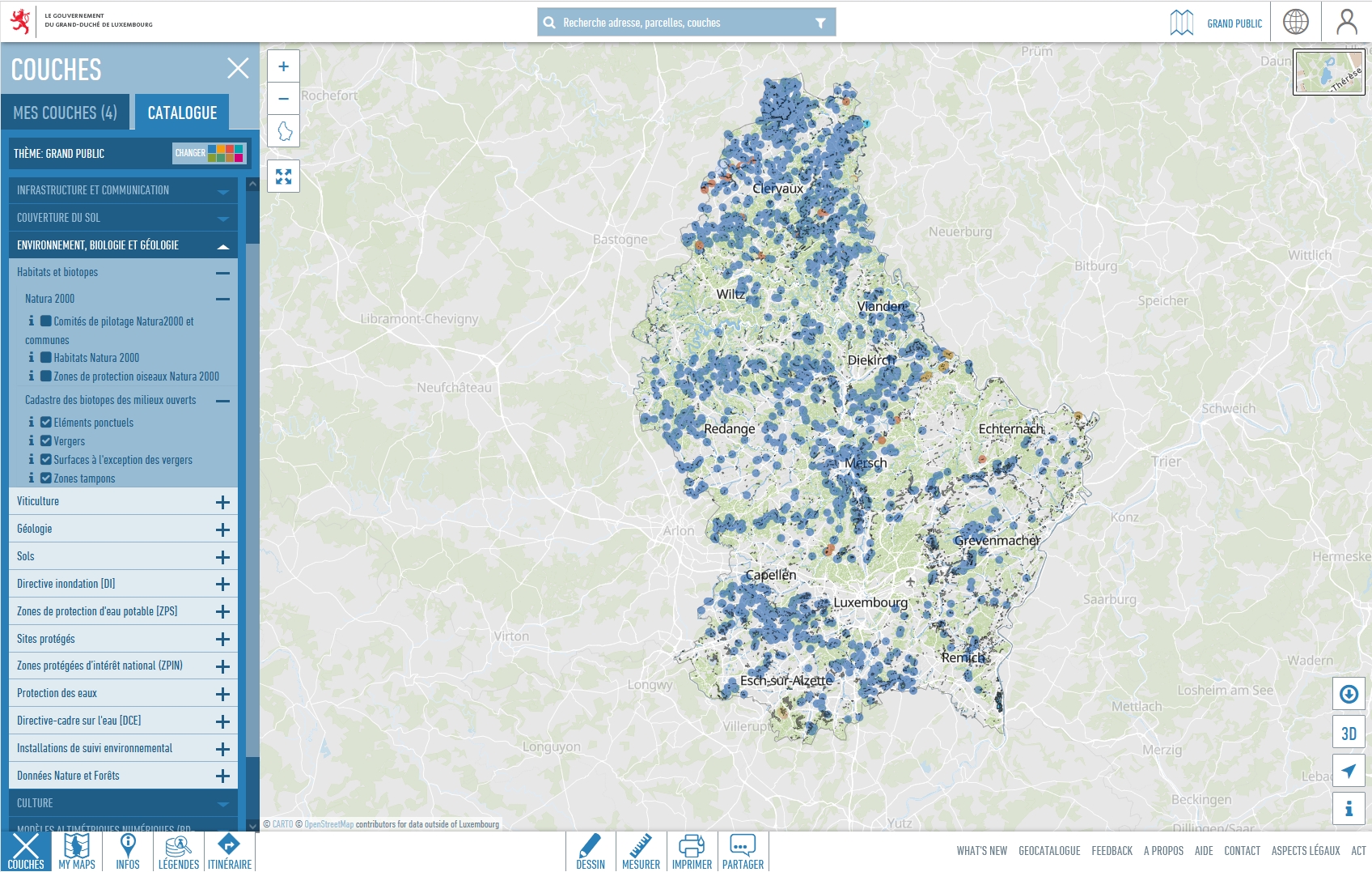
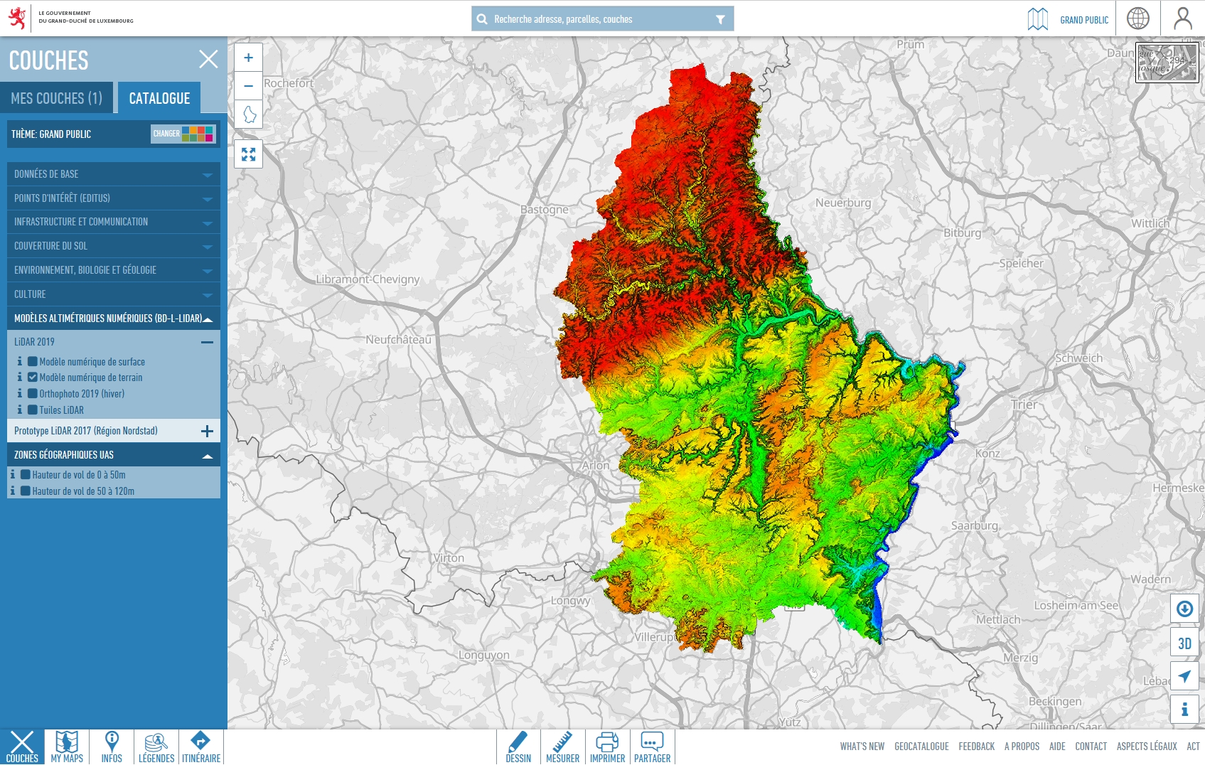
The Luxembourg Cadastre and Surveying Office also makes various types of geodata available in a geoportal. From basic data to traffic networks to the digital elevation model, a multitude of geodata relevant to Luxembourg can directly be used online in this geoportal.
The Solution
In order to meet the customer's requirements in the best possible way, the new production environment was set up in parallel as a replacement environment. This required flexible use of Esri tools and specially developed migration tools.
Due to a parallel setup of the new 10.8.1 environment, the existing productive environment could be used during the test phase without any interruptions. The already published services (WMS and Map Services) and webmaps, as well as groups and users, were first exported from the 10.6.1 environment by using the ArcGIS API for Python and then recreated (users, groups) or republished (Map Services and WMS) in the new 10.8.1 environment based on the exported information.
Since both ArcMap and ArcGIS Pro are used as desktop applications, it was necessary to create both Python 2-based scripts (for ArcMap) and Python 3-based scripts.
The Technology
ArcGIS Enterprise
ArcMap and ArcGIS Pro
ArcGIS API for Python and Python 2
The Advantages
Use of the new functionalities of ArcGIS Enterprise Version 10.8.1
Upgrade of the general infrastructure by migration to a new machine
Validation of the data store in the new environment is possible, allowing a wider range of services to be published
Summary
Within the scope of the project, it made sense to migrate to new servers with the updated version of the Esri technology instead of just upgrading the ArcGIS technology used. This had the advantage that not only the entire infrastructure could be renewed, but also only those components were migrated that were really needed.