
Barcelona Provincial Council
SITMUN: an SDI for municipal management
Background
The responsibilities of Barcelona Provincial Council include collaborating with councils and local entities of the province in their task of planning and managing the territory. The cartography used by the local entities for this task is highly heterogeneous.
Depending on the source of the information and the reasons for which it was produced, there are often significant differences in format, coordinate systems, data precision and quality; there may be various versions of the same map, etc.

FME has been an essential tool for SITMUN since it was set up in 2005. We have used FME to load geographical information files to the SITMUN database, to give users the option of fully or partially downloading this information, and to change the coordinates system in an easy, homogenised and fast way, with a fully interoperable data structure."
The Challenge
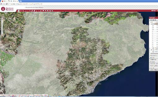
The Municipal Territorial Information System (SITMUN) is a web platform designed to meet the common GIS-related requirements of the councils of Barcelona Province, especially those with limited resources. It is intended to serve as a central repository for the supply of geographic information, and a platform for loading, validating and managing this information.
Implementing SITMUN called for a tool that could be used to load and extract geographical information in different formats and coordinate systems, while complying with the regulation on changing coordinate systems from ED50 to ETRS89.
The Customer
The aim of the Cartography and Local GIS Technical Office of Barcelona Provincial Council (Diputació de Barcelona) is to provide councils and other local entities in the province with the basic instruments for integral management of the territory, such as digital cartography and the Municipal Territorial Information System (SITMUN).
These instruments are centrally managed at the Cartography and Local GIS Technical Office, which also provides advice and technical support on using these instruments to councils and other local entities in the province.
The Solution
Barcelona Provincial Council decided to use a combination of FME Desktop and FME Server to homogenise and harmonise its cartography in a single centralised geographical database and to cover the requirements of interoperability, extraction and loading of geographical information with a single tool that is easily integrated into the SITMUN platform.
The Benefits
Implementing a centralised SDI for loading and distributing geographical information provided the following benefits for the Barcelona Provincial Council and its local entities:
Homogenisation and harmonisation of data
Possibility of working with open standards
Interoperability in a large number of formats
Structured administration of the platform
Maintenance savings
Compliance with standards of electronic access to services
The Technology
The combination of FME Desktop and FME Server allows users to design an SDI that includes the following features:
Interoperability in data input and output
Validation of geographic information
Personalised data extraction
Data transformation
Easy and flexible integration in corporate web environments
Summary
FME Desktop and FME Server proved to be two incredibly useful tools for launching the SDI. FME helped to load the geographic information and homogenise its structure, decentralising the data-uploading process regardless of its format, while also adding information validation, data processing and coordinate transformation features.
Furthermore, FME was used to integrate the extraction of geographic information from SITMUN. Users can easily control this extraction by selecting the cartographic sources, the geographic scope (part or all of the municipality), the output format and the coordinate system.