
Emschergenossenschaft and Lippeverband
An operations management system that combines GIS and SAP-ERP

The Challenge
Taking the cue from the idea of offering geoinformation and related data within a company-wide information system, the objective was to build a service-oriented architecture (SOA) that was able to cope swiftly and systematically with existing and future requirements. The central aim was to ensure that business processes enjoyed optimum support. This architecture pattern was to be implemented for the first time, based on the example of an operations management system (OMS).

The OMS is the first productive application in the company to be based on our SOA reference architecture, and shows its lasting benefits through its ability to integrate GIS and SAP-ERP services. The implementation of this application gives us an integrated operations management system that overcomes previous system limitations while offering a hitherto unheard of level of intuitive and process support."
The Customer
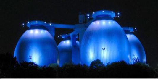
In the Emscher and Lippe region, the requirements of man and nature are in constant competition with each other. It is the job of the Emschergenossenschaft (EG) and the Lippeverband (LV) to achieve an equilibrium between these needs. These two public bodies have been cooperating for more than 85 years as the biggest sewage disposal providers and operators of wastewater treatment plants in Germany.
Together, the EG/LV serve an area of 4,000 square kilometres and operate 58 wastewater treatment plants plus over 180 drainage pump works and more than 300km of sewage canals. Around 3.7 million people live in the service area of the Emschergenossenschaft and Lippeverband.
Whether climate change, transformations on the energy market, or water pollution – a modern water industry is constantly called upon to find innovative solutions to a variety of challenges.
www.eglv.de
The Solution
The purpose of the OMS is to plan and process service orders and reports in the SAP-ERP. The integrated map service enables the intuitive visualisation, localisation and allocation of operating materials (such as fixings, shafts, etc.). The intuitive map service was developed with ESRI Flex API for ArcGIS Server, and can be integrated extremely flexibly with any other services in the SAP portal. The SAP-ERP and ArcGIS Server backend systems are connected via web services in an SOA reference architecture. This won the ESRI Special Achievement in GIS Award in San Diego in 2009.
The Solution is Based On
SAP Netweaver: application server and integration platform for the overall application (PI, CE)
SAP EAM: manages the operations management system (OMS)
ESRI ArcGIS Server: provides the GIS services for managing and displaying spatial data
ESRI Flex API für ArcGIS Server: client technology for developing the GIS application (integrated in SAP Flash Island)
SOA: service-oriented architecture based on the Emschergenossenschaft and Lippeverband reference architecture
The Benefits
The operations management system enables an integrated view of the GIS and SAP-ERP applications systems and supports operative personnel in processing and monitoring orders, reports and maintenance plans. In so doing, it creates automatic references between the map and the operating resources selected in SAPERP. Objects can be selected in the map and the maintenance plans added in SAP. The geographical reference makes it considerably easier for users to search for and determine selected objects and offers a completely new and intuitive way of accessing operations information in SAP-ERP.
With the OMS, the core of a modern IT infrastructure was established in the Emschergenossenschaft and Lippeverband on the basis of an SOA. This allows the flexible incorporation of further operational data via web services and the company-wide provision of services providing IT-supported implementations of business processes.
Summary
Development of a uniform, integrated operations management system for planning, processing, controlling and responding to maintenance and servicing orders
Integration of GIS and SAP web services in the SAP portal
Realised by an expert consortium comprising con terra GmbH, Capgemini sd&m AG, ESRI Deutschland GmbH and SAP Deutschland AG & Co. KG
Construction and establishment of a modern and future-proof IT infrastructure, based on an SOA reference architecture at the Emschergenossenschaft and Lippeverband