
Kreis Steinfurt
FME in non-spatial use
The Challenge
In order to effectively implement the digitization strategy in Kreis Steinfurt (Steinfurt district), a powerful and user-friendly tool was needed that would be widely accepted by employees.
The central task was to harmonize numerous different data sources and replace manual processes with automated ones.
This involved reading both internal and external (open) data from a large number of existing source systems and comprehensively processing it.
The tool to be used should not only contribute to improving data quality but also be able to feed data streams automatically and in a targeted manner into existing specialist applications used by the administration.

Thanks to the excellent partnership and cooperation, we were able to achieve a very good result. We benefit in particular from the fact that many recurring processes have been automated, and errors have been reduced in the long term.”
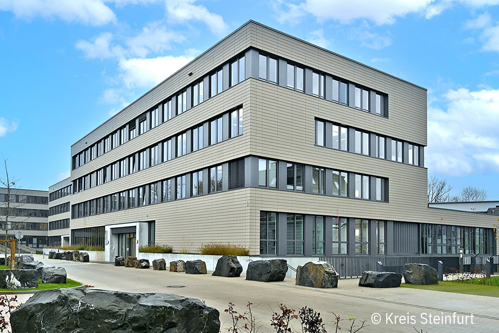
The Customer
“At the top of the west” – with 24 towns and municipalities, 450,000 inhabitants, and an area of around 1,800 km², the district of Steinfurt in North Rhine-Westphalia is one of the largest districts in Germany.
As part of its public mandate to ensure modern and service-oriented administration, the Steinfurt district administration is pursuing a consistent digitalization strategy. The aim is to make administrative processes more efficient and to noticeably improve citizen services.
The Solution
The district of Steinfurt relies on the FME platform as the backbone for a wide range of digital processes in its administration. Although originally developed for processing geodata and introduced for this purpose in the district of Steinfurt years ago, the FME platform has developed more and more into a versatile tool for processing non-spatial data as well.
The district of Steinfurt is increasingly using this to design and digitize existing, previously manual administrative processes without media discontinuity.
The Technology
FME Form
FME Flow
ArcGIS Survey 123
Application examples
1. Automated reporting of infected persons (e.g., coronavirus pandemic)
By connecting ArcGIS Survey123 to FME Flow via webhook, reports were digitally recorded and automatically transmitted to the department of health for faster contact tracing.
2. Field service support
Healthcare and veterinary workers record data using an online form. At the touch of a button, FME Flow transfers this data to the district data storage system and the relevant authorities.
3. Digital reporting procedure for children with disabilities
Schools digitally report financial support requirements for transportation and/or accompaniment of children with disabilities. The FME platform checks the information and automatically forwards it to the relevant authorities.
4. Automated reporting of speed camera locations
New speed camera locations are recorded via Survey123 and transferred to FME Flow via webhook. The required Word documentation is automatically generated and sent to the relevant authorities.
5. Digitized recording of additional income in the district council
The previously manual process for reporting additional income earned by politicians has been completely digitized using FME: input via online form, PDF generation, and automatic email dispatch.
Summary
The use of FME in the Steinfurt district impressively demonstrates that the platform offers considerable added value not only for geodata, but also in the non-spatial area. By automating and integrating a wide variety of processes, the district administration has been able to increase its efficiency and significantly improve its service to citizens.