3D in map.apps
Today, the use of 3D geodata offers extensive potential in almost every area of geoIT application. Whether urban and landscape planning, tourism and city marketing, energy plant planning, civil engineering or environmental planning and simulation.
With map.apps you have a full-value and high-performance 3D client based on the ArcGIS API for JavaScript. Not as a separate 3D solution, but as an integrated component of the efficient map.apps app and WebGIS platform.
Are you interested in checking out the functions for yourself? Click here to go directly to the demo!
map.apps offers the maximum number of options for integrating your data for 3D use. Ready-to-use and complex 3D web scenes from ArcGIS can be integrated just as easily as OGC 3D streaming services (I3S) or 3D SceneLayer packages.
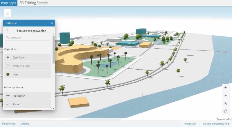
With map.apps ETL, data flexibility is limitless, as almost any format can be integrated. And this is not only configurable by the administrator, but also interactively by the end user directly in the app. Adjustments to existing 3D objects or the creation of new ones is also a flick of a switch thanks to the corresponding functions for 3D editing.
Highlights
Download/ Export for local use
Upload/import of own 2D or 3D data
Access to real-time data and streaming
Search of WebScenes
Editing 3D data
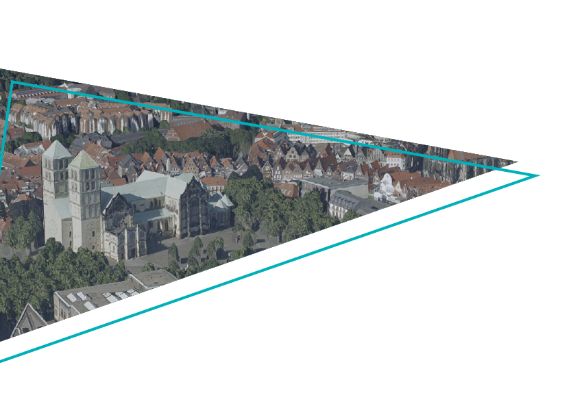
In many cases, the pure 3D visualisation of the relevant spatial detail already offers decisive added value. The realistic spatial experience that can be achieved, often enhanced by high-resolution textures, enables even non-professionals, for example, to evaluate the quality of urban planning scenarios.
But even two-dimensional data can be represented three-dimensionally in map.apps almost real-time through client-side rendering. Differences in the data can be compared by the user in their absolute dimension better and more intuitively than by any colour scale.
Highlights
Switching between 2D and 3D
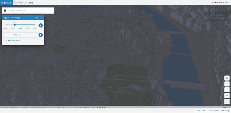
Daylight simulation
Alternative building rendering
Integration of underground data
3D Markers & Labels
Thematic 3D Representations
The use of three-dimensional geodata in map.apps enables you to go beyond the simple visualisation and also to obtain completely new information that can be derived very easily via various forms of 3D analyses. These insights into sometimes complex interrelationships arise from the analytical combination of three-dimensional data such as subsoil, terrain, buildings, vegetation or even lighting.
Highlights
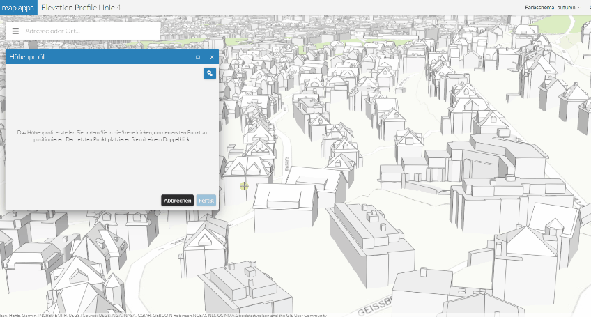
Elevation profile with separation of terrain/ buildings
3D Editing Function
Visibility Analysis
BIM & Building Explorer
3D Measurement Function
Live 3D Demo
Discover the possibilities and added value of map.apps in 3D for yourself and get your free demo version.